


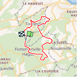

8.5 km | 10 km-effort

User


FREE GPS app for hiking
 SityTrail
IGN / Geographical institutes
SityTrail World
The world is yours!
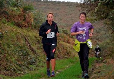
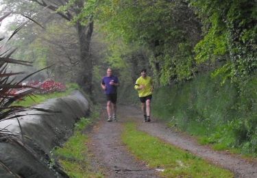
Trail Running of 13.5 km to be discovered at Normandy, Manche, La Hague. This trail is proposed by tracegps.
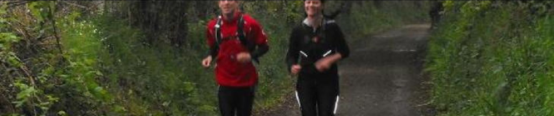
Trail organisé par le club "LES HAGUARDS" à l'occasion des SENTIERS DE LA HAGUE 2013. Ce trail est composé de chemins carrossés, de singles, de passages entre les arbres de petits sentiers entre les haies et de chemins caillouteux. Très varié, idéal pour découvrir le secteur autrement que par la route. Pour cette première édition les participants étaient ravis. LES HAGUARDS vous donnent rendez-vous tous les dimanches si, comme nous, vous appréciez les randos dans une ambiance conviviale et sportive. Afin de contenter tout le monde nous formons plusieurs groupes de différents niveaux. LES HAGUARDS ne sont pas sectaires et apprécient aussi de pratiquer d'autres activités sportives telles que les raids multisports, trails, triathlons etc........


Walking

Running
Mountain bike

Mountain bike
Mountain bike

Mountain bike
Mountain bike
Mountain bike